Visiting Pulau Ubin, Singapore? The following are directions and a map on how to get there.
It starts with a step-by-step pictorial guide to Pulau Ubin by public transport, followed by a map to this island.
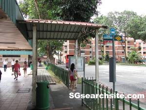
Take bus service 2, 29, 59 or 109 to Changi Village Bus Terminal.
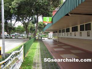
Alight from the bus, turn left and walk straight ahead.
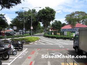
Continue to walk in the same direction upon reaching the car park.

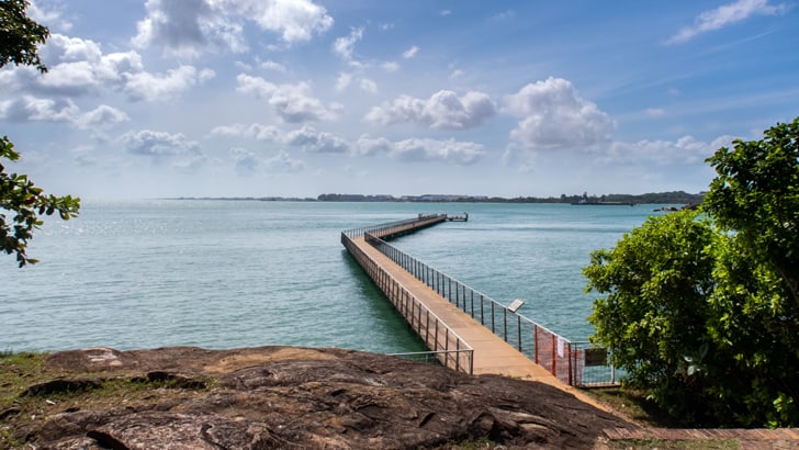
You shall reach Changi Point Ferry Terminal shortly.
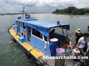
Hop on to a bumboat to Pulua Ubin – it costs S$4 per-way ($2 extra if you are bringing your bicycle), and it is to be paid to the boat operator.
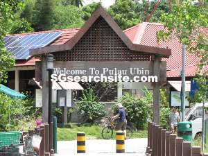
After 5-10 mins bumboat ride, you shall reach Pulau Ubin.
Map
View Pulau Ubin – Map in a map.

